Thinking about moving to Point Loma Heights and wondering what daily life really looks like? You want the coastal feel, easy access to the airport, and a neighborhood that works for weekday routines as well as weekend adventures. In this guide, you’ll learn how Point Loma’s pockets differ, what the commute and transit options look like, where you’ll run errands, and how to plan for boating or a military relocation. Let’s dive in.
Point Loma Heights at a glance
Point Loma sits on a peninsula west of downtown San Diego with San Diego Bay on one side and the Pacific Ocean on the other. The City of San Diego groups the area into distinct neighborhoods, which helps you compare options and plan your move with confidence. You can review the official map and descriptions in the city’s Peninsula Community Plan.
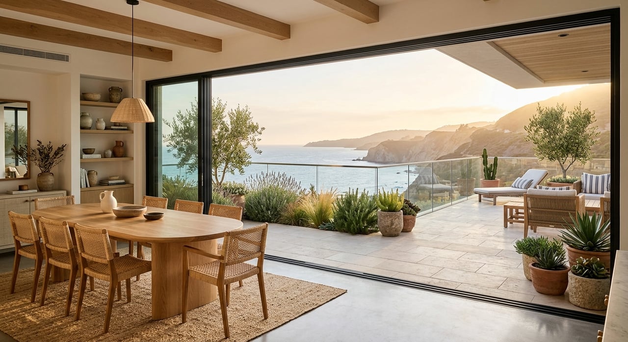
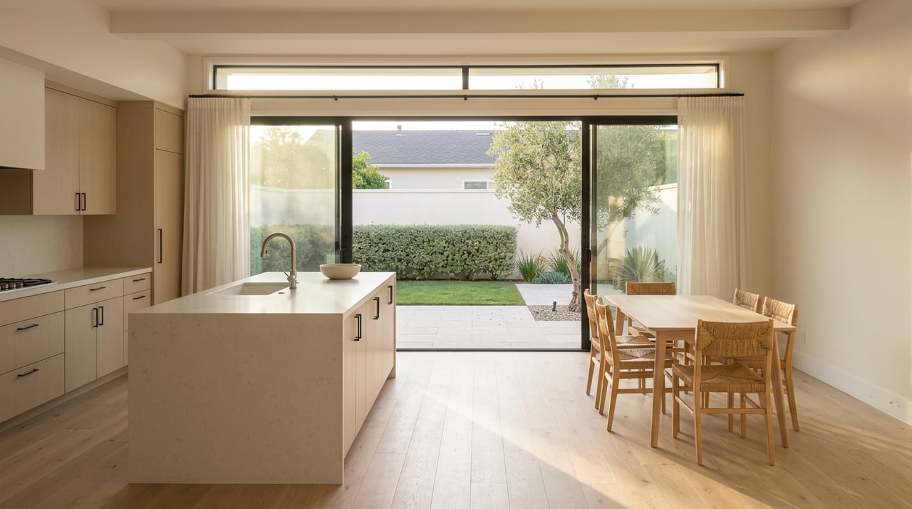
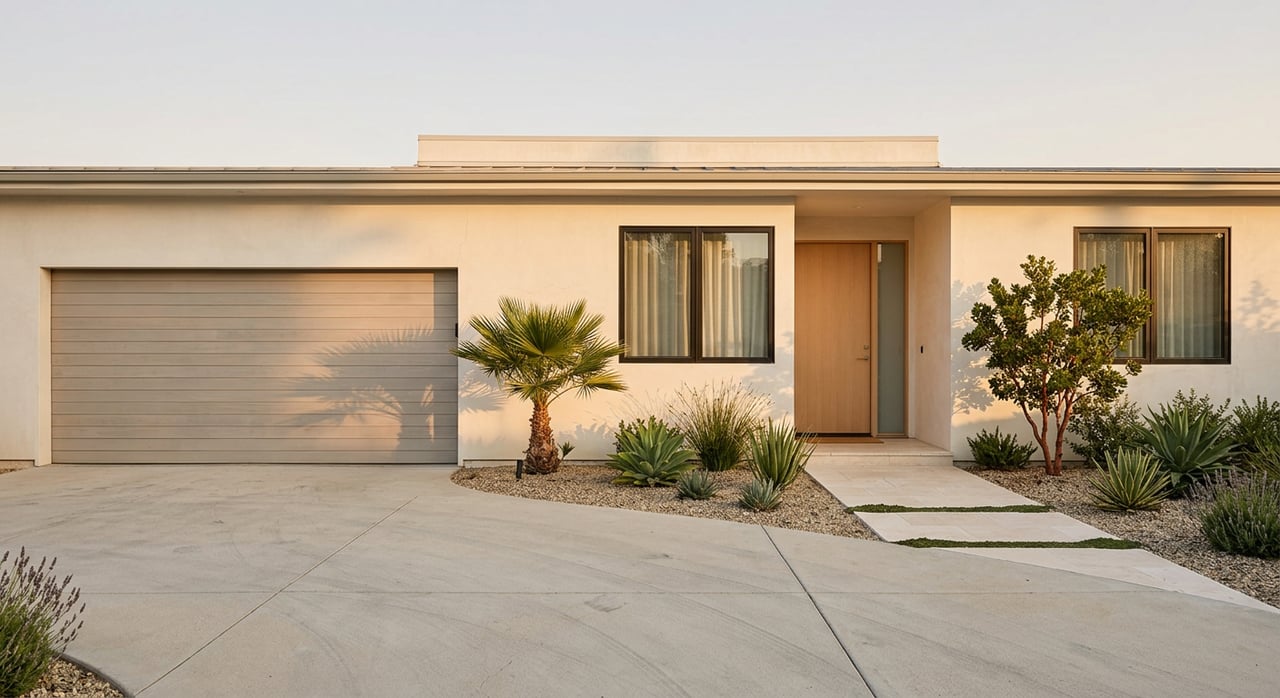
Point Loma Heights is a mostly residential area on rolling hills. You’ll see a mix of early 20th century Craftsman homes, mid-century houses, and some newer infill condos and apartments. It often feels quieter than the waterfront, yet you’re still a short drive to Liberty Station, Sunset Cliffs, and local marinas.
Which pocket fits you?
Before you choose a home, it helps to compare nearby pockets by access and feel. The city’s peninsula map is the best starting point, then layer in your daily needs.
Point Loma Heights
- Residential hills with a blend of older homes and newer infill.
- Short drives to Liberty Station for groceries and dining.
- Local parks and neighborhood streets that feel calmer than the waterfront.
Loma Portal and Plumosa Park
- Mid-century residential streets and neighborhood parks.
- A practical base for quick trips to Liberty Station and the bay.
- Straightforward street grid for simple daily driving.
Roseville and Fleetridge
- Historic bungalows and hillside lots.
- Some streets offer bay or ocean outlooks.
- A throughway zone for visitors heading to Sunset Cliffs.
La Playa
- Bayfront living with small sandy bay beaches like Kellogg Beach.
- Proximity to yacht clubs and sheltered waters.
- Direct bay access and a strong waterfront setting.
Liberty Station and Arts District
- The peninsula’s main shopping, dining, and arts hub in repurposed naval buildings.
- Everyday errands, healthcare, and a public market in one place.
- Explore food and specialty stalls at Liberty Public Market.
Sunset Cliffs and Ocean Beach edge
- Dramatic coastal bluffs, trails, and tide pools.
- High visitor activity at sunset and on weekends.
- Review access and safety notes on the City’s Sunset Cliffs Natural Park page.
Shelter Island and Harbor Island
- Marinas, yacht clubs, and waterfront dining.
- Hotels and visitor services instead of residential streets.
- Central place to start marina or slip research.
Getting around: commute, transit, and trails
Driving and airport access
Point Loma offers quick car access to downtown and the airport in non-peak hours. Typical drive times to San Diego International Airport are often about 10 to 15 minutes, depending on your exact starting point and traffic. Visitor resources highlight the proximity, while reminding you that rush hour can change the picture. For planning, check current guidance on Point Loma travel times, and always test your commute during your real travel window.
Bus and trolley connections
San Diego MTS runs local bus routes that connect the peninsula to Old Town and downtown. Routes commonly used along the Point Loma and Shelter Island corridor include Route 28 between Old Town Transit Center and Shelter Island, and the Point Loma shuttle/Route 84 serving Sub Base to Cabrillo via Rosecrans. Schedules are more limited than core corridors, and most rail trips require a transfer at Old Town. Review current times on the MTS Route 28 and 84 timetables.
Biking and walking
You can bike along the harbor and coast using segments of the California Coastal Trail and local bike lanes on key roads like Nimitz Boulevard and Sunset Cliffs Boulevard. E-bikes are popular for tackling the hills in Point Loma Heights. For context on regional segments and access, see the California Coastal Trail San Diego section.
Parking and permits
Expect visitor parking pressure near Sunset Cliffs viewpoints and Liberty Station on weekends. Many residential streets are city-managed, and some pockets use permit zones during peak seasons. Before assuming unrestricted on-street parking, review the City’s Residential Permit Parking program.
Daily errands, healthcare, and schools
Groceries and everyday stops
Liberty Station functions as the peninsula’s daily errand hub. You’ll find a full-service grocery in the district, a Trader Joe’s nearby, and a variety of restaurants and services. The Liberty Public Market adds prepared foods and specialty vendors, making it an easy one-stop for busy weeks.
Medical and clinics
For urgent and outpatient care, the Scripps clinic in Liberty Station is convenient to Point Loma Heights. You can confirm services, hours, and appointment options at the Scripps Clinic Liberty Station.
Schools and enrollment
Point Loma neighborhoods are part of San Diego Unified School District. Point Loma High School is the local public high school that many families reference when planning a move. For enrollment and cluster details, consult district resources through the Point Loma High School page. Boundary maps and programs can change, so check the latest information directly with the district.
Waterfront life and boating
Marinas and slips
If you own a boat or plan to, most nearby slips are on Shelter Island, Harbor Island, and around the working waterfront. The Port of San Diego maintains an up-to-date list of marinas, services, and contacts so you can compare operators and waitlists. Start with the Port’s overview of San Diego Bay marinas to map your options.
Launches, fuel, and operations
Trailer-boat users rely on public ramps around the bay, and availability can vary by season and maintenance. Fuel docks and pump-out stations are not at every location, so plan your route in advance. Check Port guidance and contact marinas listed on the San Diego Bay marinas page for specifics.
Coastal parks and tide pools
Weekends often include a stroll along the cliffs or a tide pool visit. Review current access and safety notes for Sunset Cliffs Natural Park, and consider a daytime visit to Cabrillo National Monument for views and coastal ecology when conditions allow.
Military families: local logistics
Naval Base Point Loma is on the peninsula, which is why many military households choose nearby neighborhoods with quick base access and walkable services. The Navy’s Fleet and Family resources outline relocation steps, base contacts, and child and youth programs. Start your planning with the base’s official relocation and resource page, then coordinate with your command for entitlements and housing guidance.
For K–12, there are no DoD schools on the peninsula. Families use San Diego Unified schools and often work with the base school liaison for enrollment. Confirm current programs and boundaries directly with the district using the Point Loma High School district page as a starting point.
Moving checklist for Point Loma Heights
Use this short, practical list to streamline your move:
- Visit and test your commute. Do two test runs at your real travel times, morning and evening. Transit schedules for local routes are posted on the MTS Route 28 and 84 timetables.
- Shortlist pockets by lifestyle. Compare Point Loma Heights, Loma Portal, La Playa, Liberty Station, and Sunset Cliffs using the city’s Peninsula Community Plan as your map.
- Plan for parking. Check the City’s Residential Permit Parking program and note peak periods at Liberty Station and Sunset Cliffs.
- Confirm school logistics early. Review district details starting with Point Loma High School resources, then contact SDUSD directly for boundaries and programs.
- Set up healthcare. Save directions and numbers for the Scripps Clinic Liberty Station and identify your preferred hospital.
- If you boat, start slip research now. Compare operators and waitlists using the Port’s San Diego Bay marinas list.
- Expect varied pricing across pockets. Liberty Station and bayfront areas often price at a premium. For current figures, request a custom market review.
Make your move with confidence
Point Loma Heights gives you coastal living, quick airport and downtown access, and a simple daily rhythm centered on Liberty Station. With clear pockets to choose from, straightforward transit links to Old Town, and marinas a few minutes away, you can tailor the lifestyle to your priorities. If you’re weighing tradeoffs, comparing micro-locations, or planning a relocation, connect with a trusted local advisor to map the right plan.
Ready to explore homes or get a market read for your move? Reach out to Kris Gelbart for tailored guidance and a concierge experience from search to closing.
FAQs
How long is the drive from Point Loma Heights to the airport?
- Typical drive times to San Diego International Airport are often about 10 to 15 minutes, depending on traffic and your exact starting point. Check current guidance on Point Loma travel times and test your own commute.
Does Point Loma have direct trolley service to downtown?
- No. There is no direct trolley line through Point Loma. Most riders take MTS buses to Old Town Transit Center and transfer. See the MTS Route 28 and 84 timetables for connections.
Where do Point Loma Heights residents usually shop for groceries?
- Liberty Station is the everyday hub for groceries, prepared foods, and services. It also features the Liberty Public Market for specialty vendors.
What are the main bus routes serving Point Loma Heights?
- Routes commonly used include Route 28 between Old Town and Shelter Island, and Route 84 serving Sub Base to Cabrillo via Rosecrans. Check the MTS Route 28 and 84 timetables before you go.
How can I find a boat slip near Point Loma?
- Start with the Port of San Diego’s overview of San Diego Bay marinas, then contact marina operators directly for current availability, fees, and waitlists.
Do I need a residential parking permit in Point Loma Heights?
- Some high-demand pockets near parks and commercial areas use permit zones. Review the City’s Residential Permit Parking program and check local signs before parking.